
Relief Maps: Exploring the World in 3D
Have you ever wanted to explore the world in three dimensions? A relief map can help you do just that. A relief map, also known as a topographical map, is a three-dimensional representation of the Earth’s surface that shows the shape and elevation of landforms. This type of map is incredibly useful for navigating and understanding complex terrain such as mountain ranges, rivers, valleys, and other physical features. In this article, we’ll explore the world of mapa en relieve (relief maps) and how they can be used to help you better understand the Earth’s topography.
What is a Relief Map?
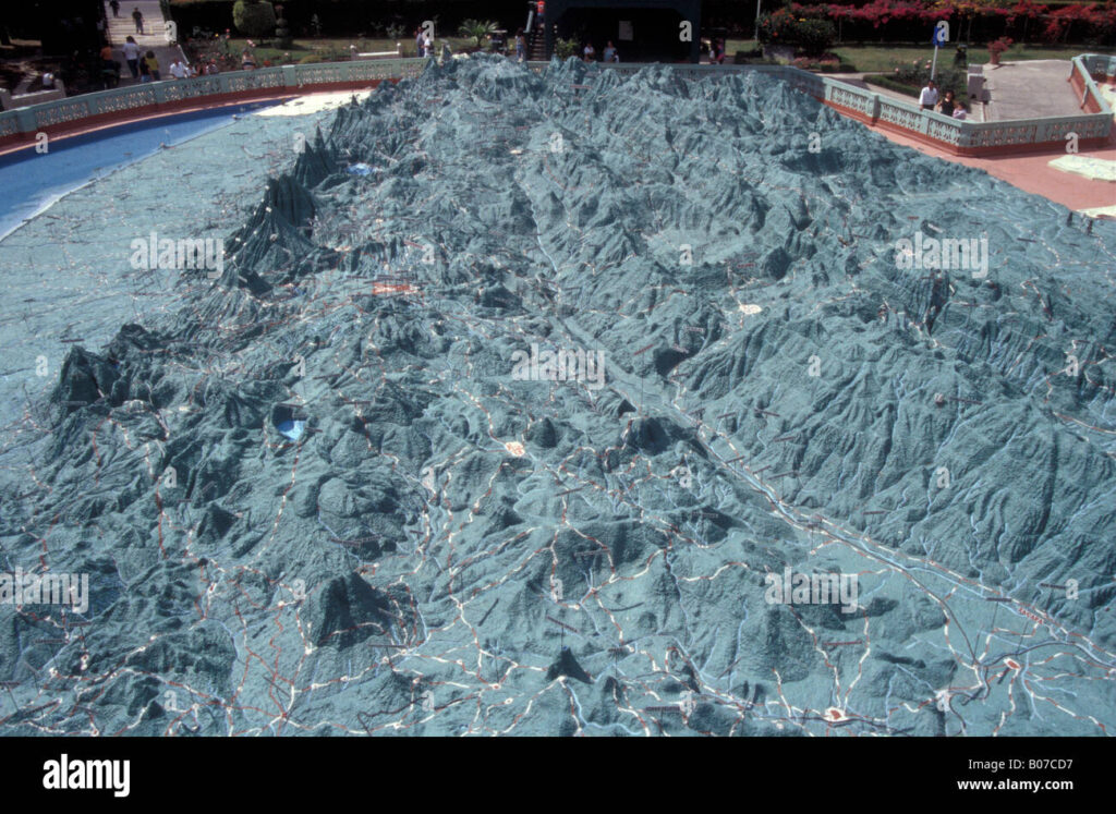
A relief map is a type of map that uses contour lines, shading, and other techniques to represent the shape and elevation of landforms. Relief maps are typically two-dimensional, but there are also three-dimensional relief models available. These maps provide an accurate depiction of the landscape, including mountains, valleys, rivers, and other physical features. They are an essential tool for navigation, exploration, and understanding the Earth’s topography.
Types of Relief Maps
There are several different types of relief maps, each with its own unique features and applications.
- Contour Maps: These maps use contour lines to represent elevation changes in the landscape. Contour lines are curved lines that join points of equal elevation.
- Shaded Relief Maps: Shaded relief maps use shading to represent elevation, with lighter areas representing higher elevations and darker areas representing lower elevations.
- Hypsometric Maps: These maps use color to represent elevation, with lighter colors representing higher elevations and darker colors representing lower elevations.
- Physical Maps: Physical maps show physical features such as mountains, rivers, and valleys. They are often used for navigation and exploration.
How to Read a Relief Map
Relief maps can be difficult to read and understand at first, but with practice, they can be a powerful tool for understanding the Earth’s topography. Here are some tips for reading a relief map:
- Look for Contour Lines: Contour lines are curved lines that join points of equal elevation. They are useful for understanding the shape of the landscape and the direction of elevation changes.
- Identify Elevation Change: Shaded relief maps and hypsometric maps use shading and color to represent elevation. Identify the lighter areas on the map to determine which areas are higher in elevation.
- Understand Physical Features: Physical maps show physical features such as mountains, rivers, and valleys. Use these maps to understand the landscape and plan your route.
Benefits of Relief Maps
Relief maps are an invaluable tool for navigation, exploration, and understanding the Earth’s topography. Here are some of the benefits of using relief maps:
- Accurate Representation: Relief maps provide an accurate representation of the Earth’s terrain, including elevation changes and physical features.
- Navigation: Relief maps are useful for navigation, as they provide an accurate representation of the terrain.
- Exploration: Relief maps can help you explore remote areas and unfamiliar terrain.
- Understanding: Relief maps are an essential tool for understanding the Earth’s topography.
Conclusion
Relief maps are an invaluable tool for navigation, exploration, and understanding the Earth’s topography. They use contour lines, shading, and color to represent elevation, physical features, and other aspects of the landscape. With practice, relief maps can be a powerful tool for navigating and directionality.